 Find Daily Games
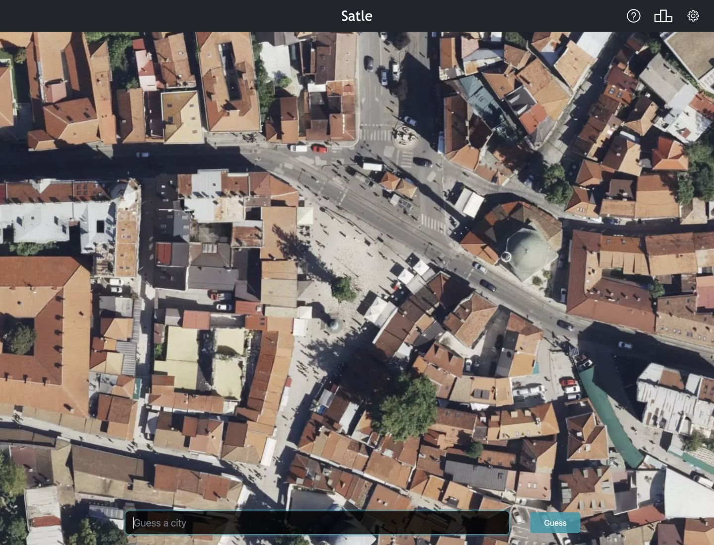
Satle
Identify the city from a satellite image in 6 tries.
Identify the city from a satellite image in 6 tries.
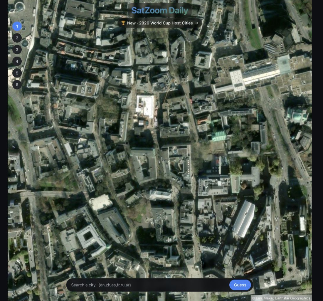
Name the city shown in a satellite image in 6 tries.
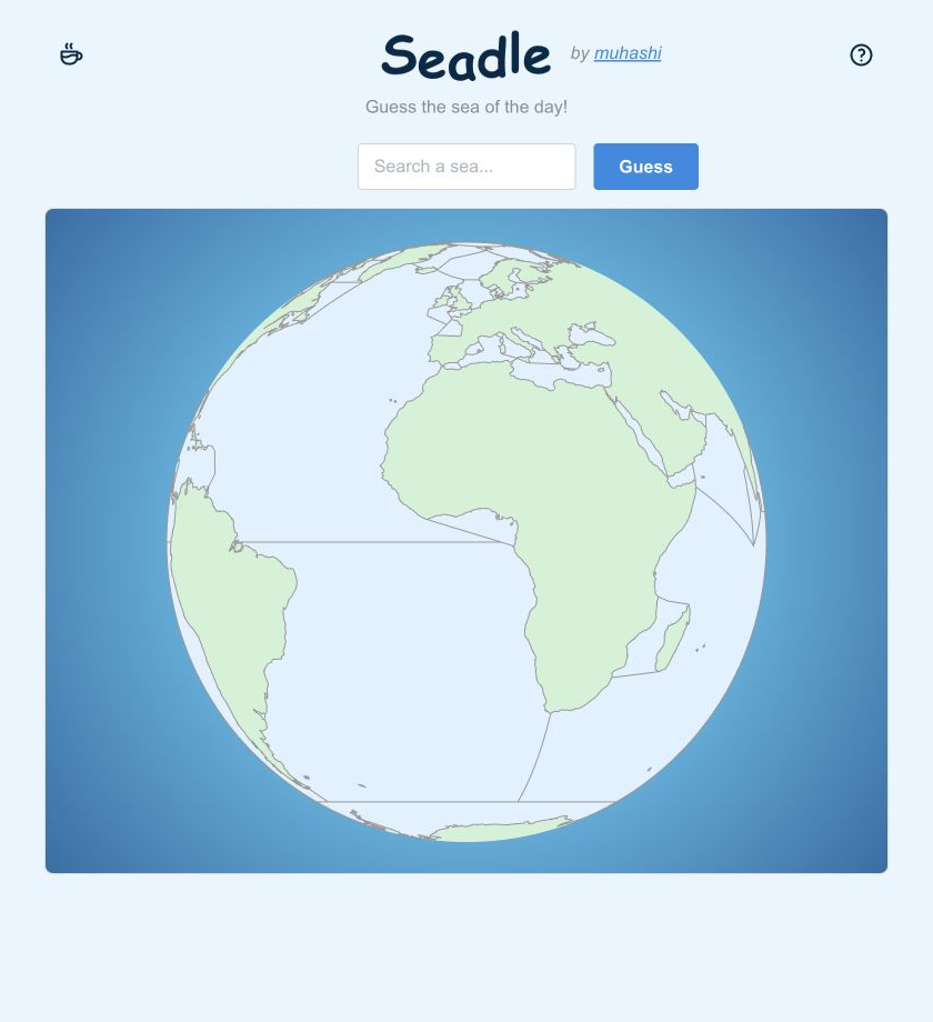
Name the sea in as few guesses as possible.
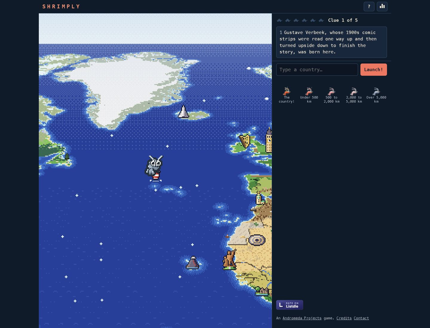
Identify a country from geographic clues on a pixel-art world map.
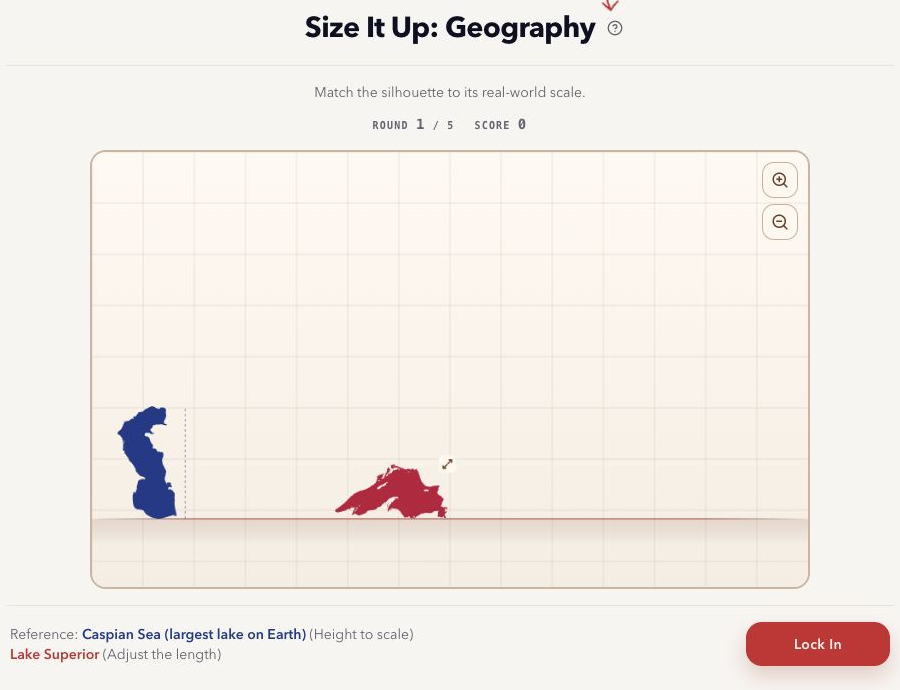
Resize the silhouette of a country or place to its real scale next to a reference shape.

Choose outbound and return flights that fit a travel objective and budget.
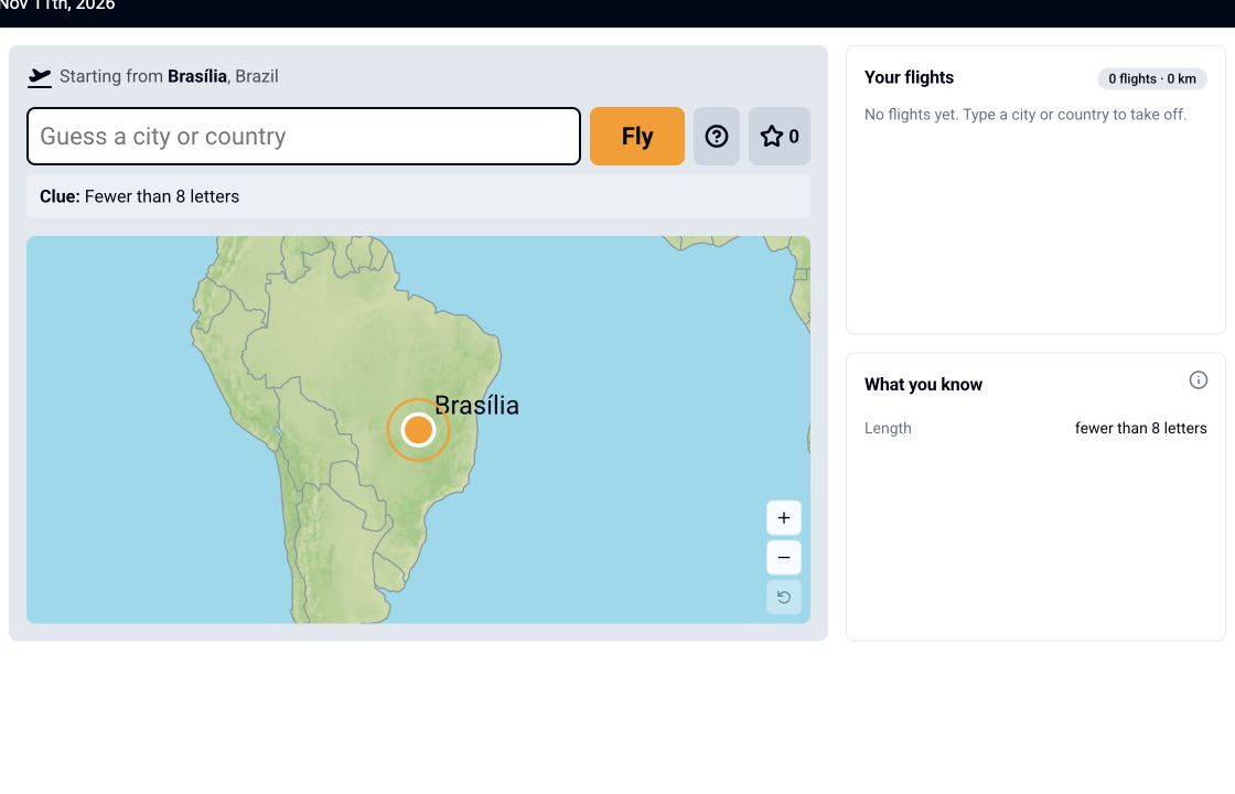
Find the destination city by flying between cities.
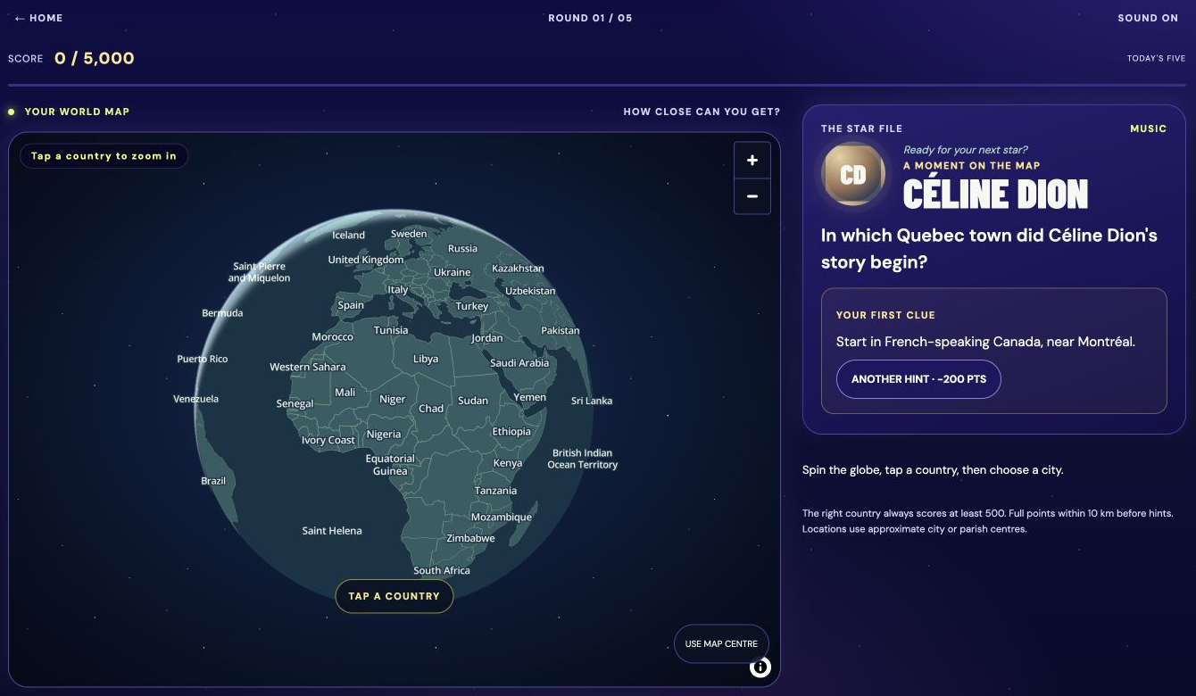
Use biographical clues to pinpoint a celebrity's hometown on a globe.
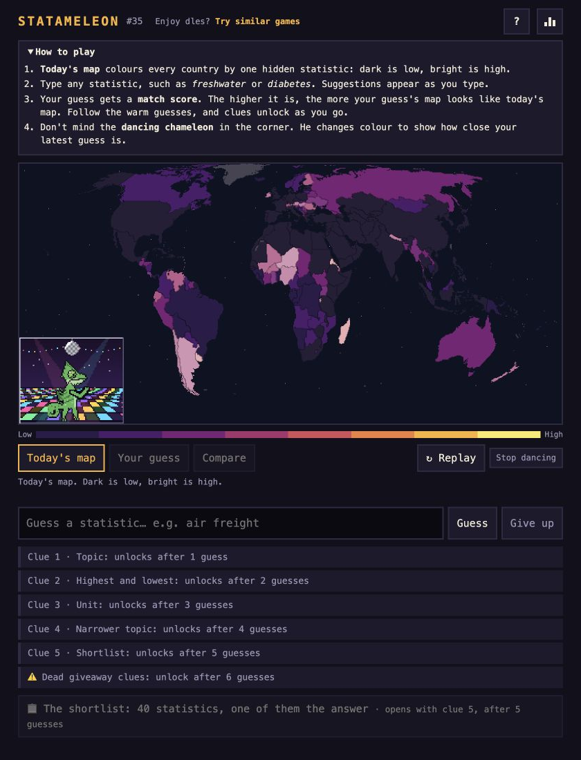
Identify a statistic from a shaded world map and its numerical colour scale.
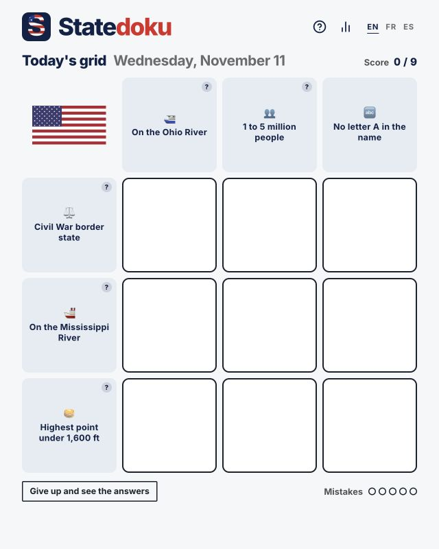
Fill a US-state grid with answers matching its row and column categories.
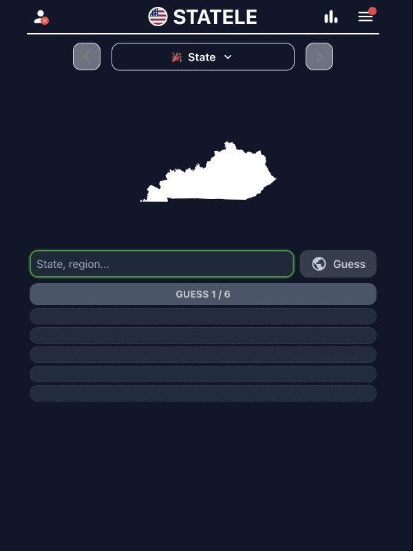
Identify the US state from its outline in 6 tries; each wrong guess reveals the distance, direction, and proximity to the target state.
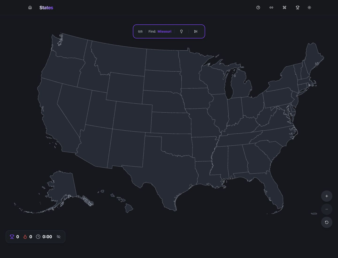
Locate the named US state on an unmarked map.
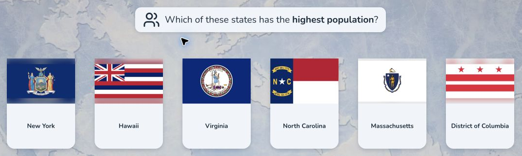
Compare US states across 7 cards in 4 challenges: pick the state with the maximum value for a given statistic, the minimum, the impostor that breaks the order, or the one closest to a target number.
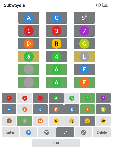
Guess the 3-train subway route between the 2 given New York stations in 6 tries; colours show which trains are correct, misplaced, or share a routing with the answer.
Locate a landmark on an interactive globe.
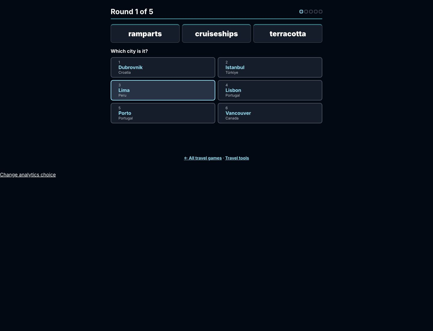
Identify a city from three descriptive travel words.
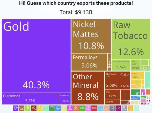
Identify countries by export patterns.
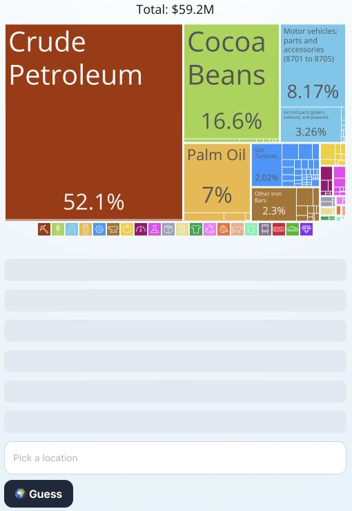
Identify a country from the products and values in its export treemap.
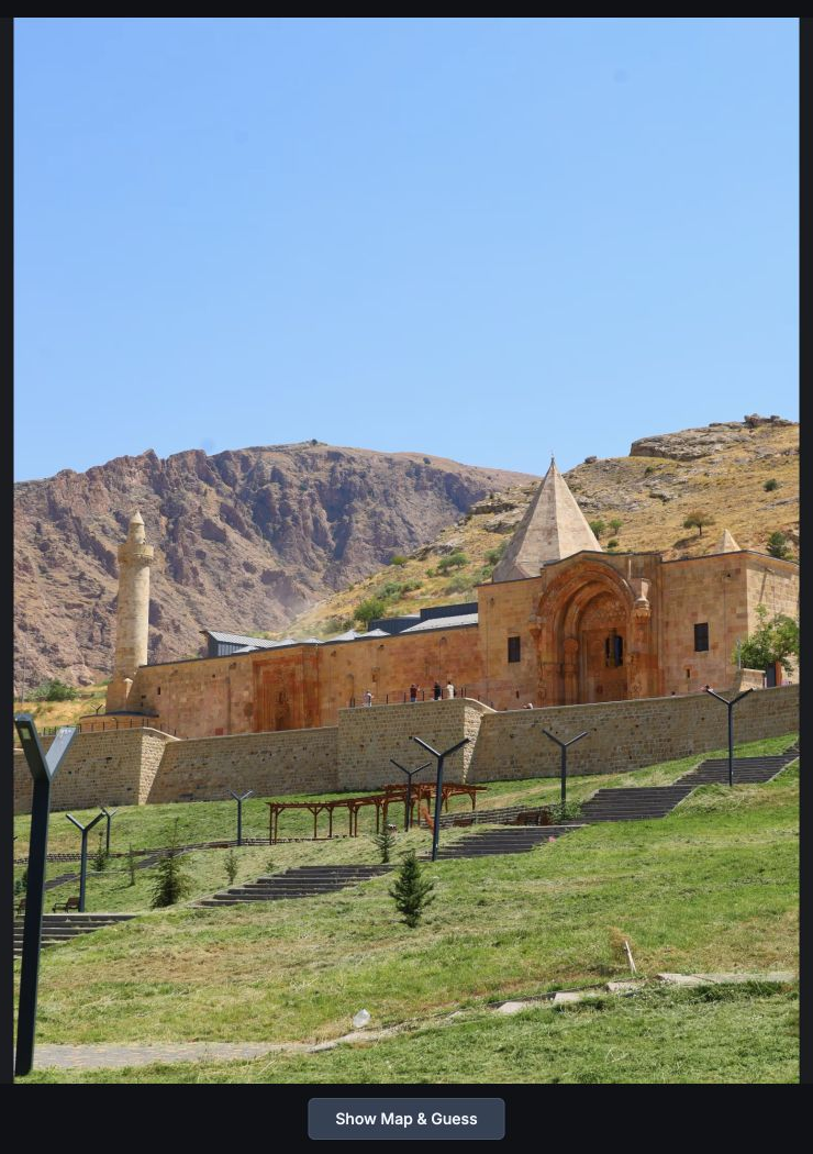
A daily geography game where you guess the location of 4 travel photos by placing a marker on a world map.
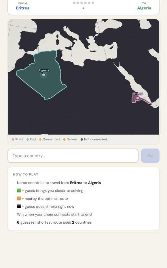
Name countries to connect the highlighted endpoints on a route map.
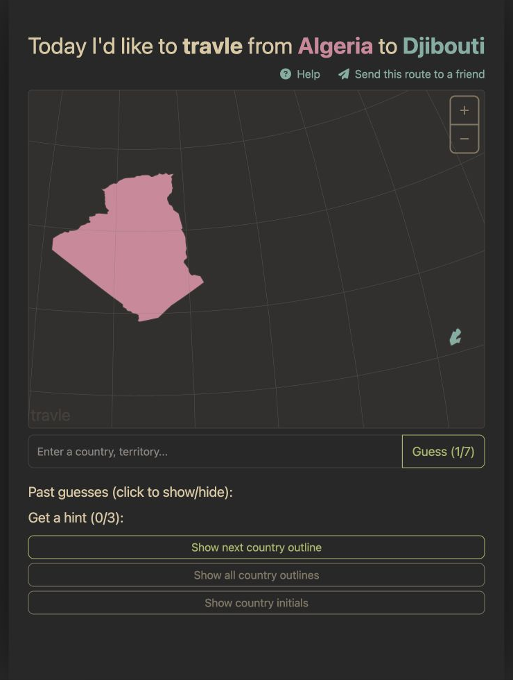
Connect a starting country to its destination by naming the countries along the route.
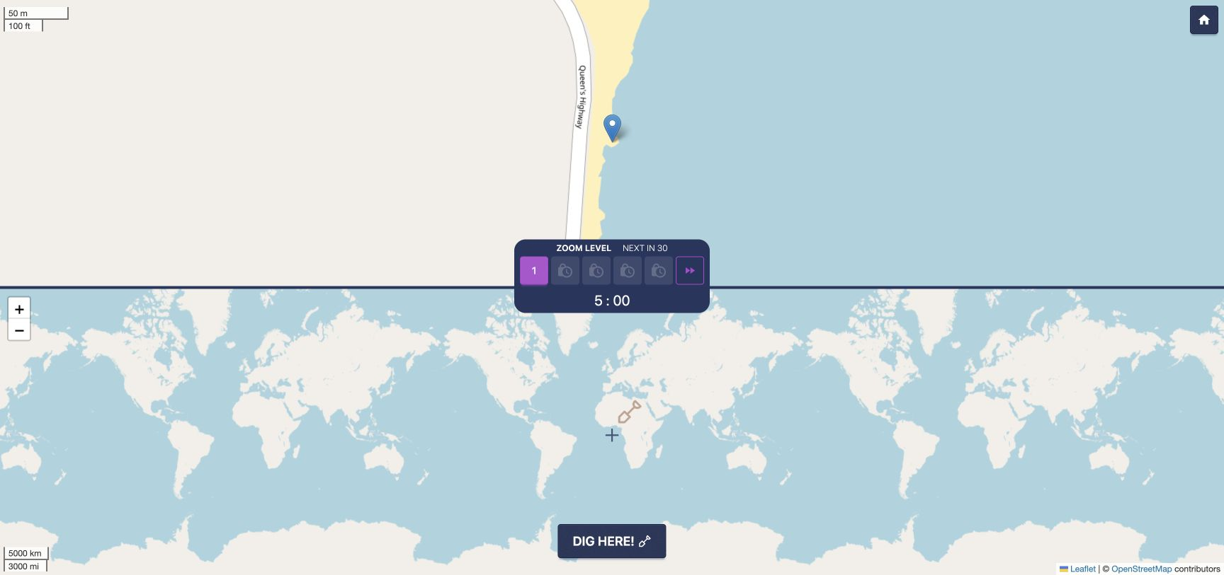
A close-up map marks a hidden spot somewhere in the world.
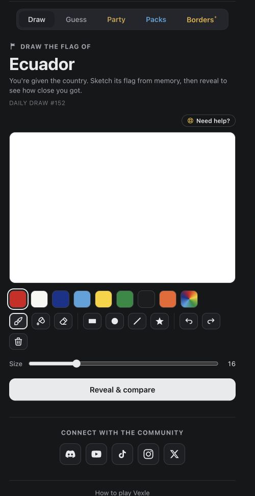
Draw a country's flag from memory using the palette and drawing tools.
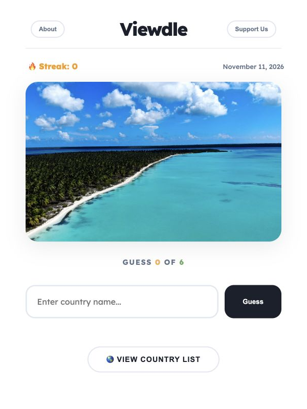
Name the country shown in a photo within 6 guesses.
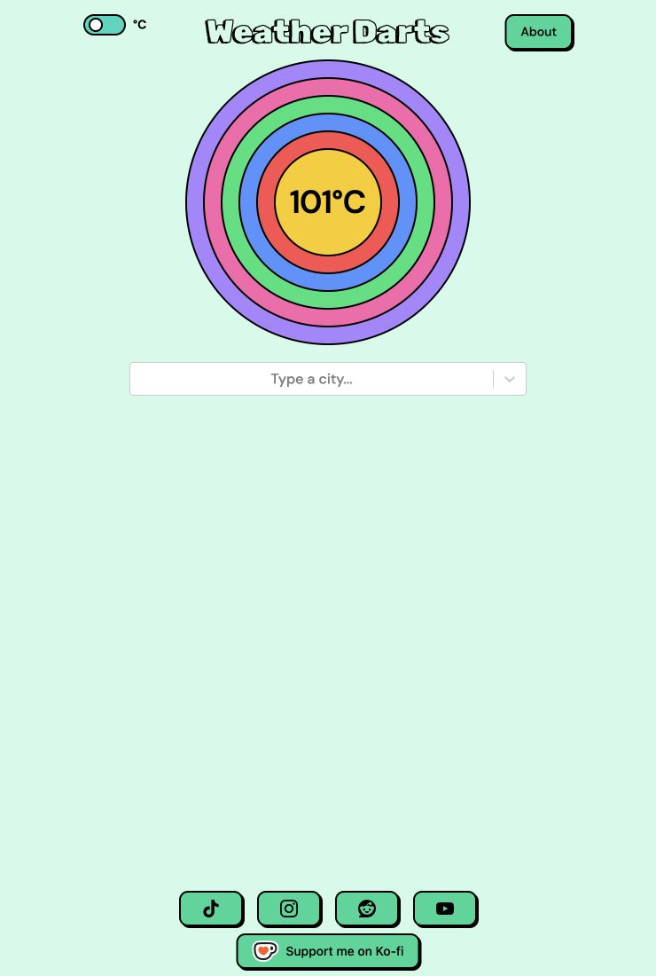
Bring a target temperature down to exactly 0 by naming up to 5 cities, each one subtracting its current temperature.
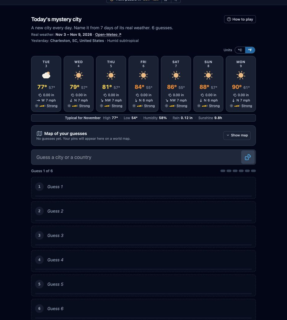
Identify a city from its seven-day weather forecast.
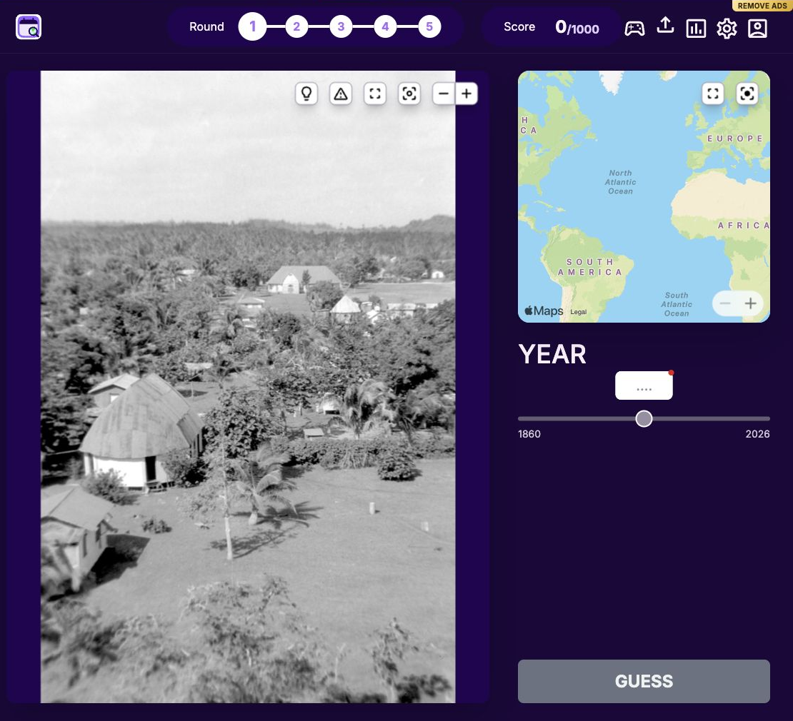
Study a historical photo, then place a pin on the world map and pick the year it was taken, scoring on how close both guesses are.
Drop a pin on a world map to answer the geography question.
Identify a British town from location clues and a map of the UK.
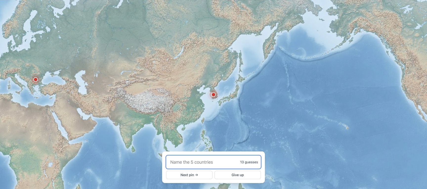
5 pins sit on a borderless world map.
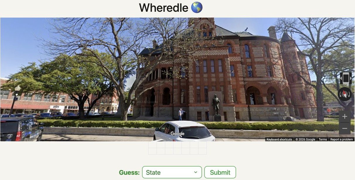
Identify a location from a Street View scene.
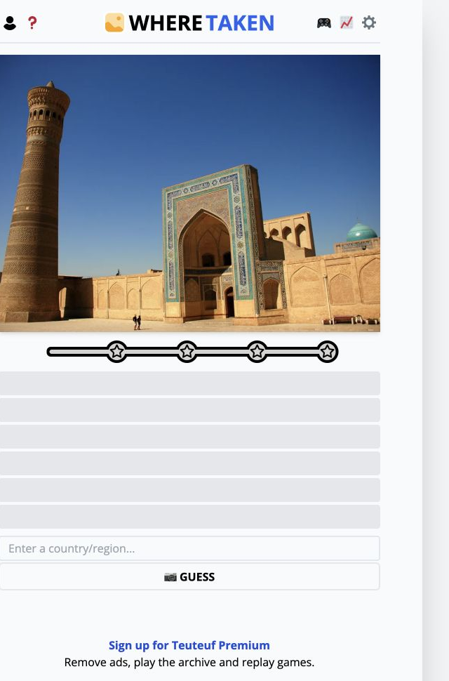
Locate a photograph’s country.
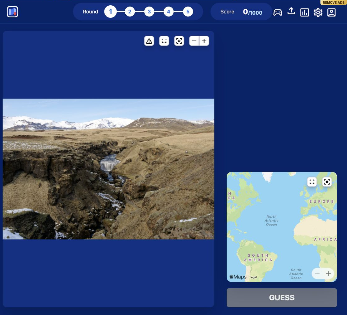
Identify where a photograph was taken by placing a guess on a world map.
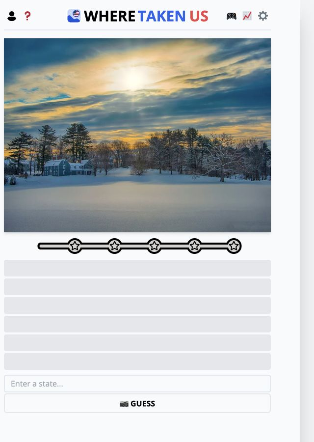
Identify a US state from photographs.
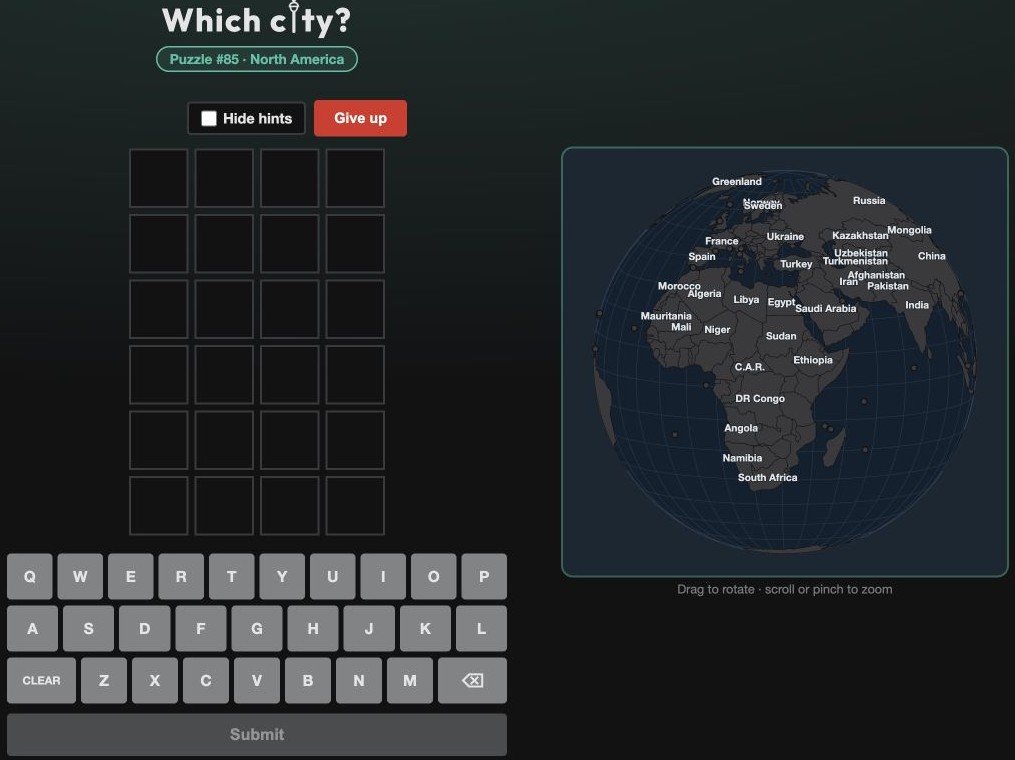
Type city guesses into a letter grid, using the indicated region as a clue.
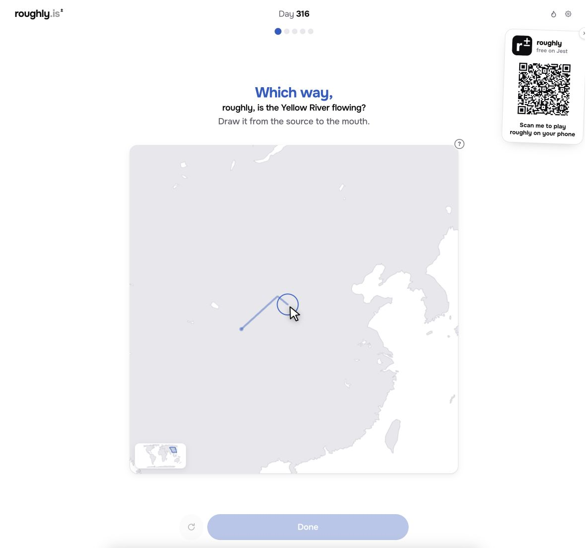
Set a direction on the map to answer the geographic prompt.
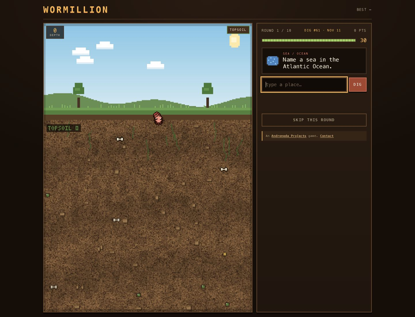
Answer timed geography questions to progress through a digging challenge.
Find five named countries on a world map, earning points for speed and accuracy.
Work out which country the red line on a data chart belongs to.
Identify a college using distance, enrollment, colours, acceptance rate and school-type clues.
Identify a country using attributes.
Guess the country from its flag in 6 tries.
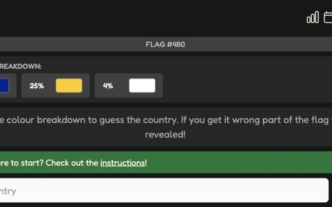
You're shown only the percentage breakdown of the colours in a mystery country's flag.
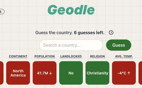
Name the mystery country from demographic readings such as population, average temperature and dominant religion.
Identify a country using continent, distance, direction, population and area feedback from your guesses.
Sort 16 Street View images into 4 groups of 4 that share a country or region.
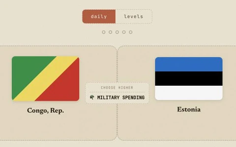
Compare two countries and choose the one that is higher for the stated measure.
Answer ten questions about the world in a daily quiz, or play a live trivia room with friends.
Place countries on a globe with no labels to guide you.
Guess the hidden country by clicking the world map, using progressive hints such as continent and shape.
Look at a satellite image and click the spot on the world map where you think it was taken.
Daily geography game with 4 country puzzles every day.
Make travel predictions and assign confidence, earning points as the calls are resolved.
Choose train and bus connections to travel from the starting city to the target destination.
Explore daily guessing games about people, places and things, including birthplaces, countries and map locations.
Guess 3 secret countries in the daily challenge using hints from geography, economy, politics, and culture.
Look around a Street View location and drop a pin on the world map where you think it is.
Identify a city from a map with no labels, zooming out for more geographic context.